
lilbill15
-
Posts
409 -
Joined
-
Last visited
-
Days Won
3
Content Type
Forums
Gallery
Events
Shop
News
Audio Archive
Timeline
Everything posted by lilbill15
-
No, @Canny lass, I’ve somehow got the mistaken notion these houses were called Sunnyside - my confusion, my error, apologies. Alan E. is very good at putting me right, fortunately x
-
Hello there @Canny lass, just scrolling through these chats, picked up “ one you were referring to “, sorry, missed your previous reference to. ?, I kept saying glibly ‘Sunnyside’ but Alan has corrected me to Station Row?terrace?. Forgive my ignorance x
-
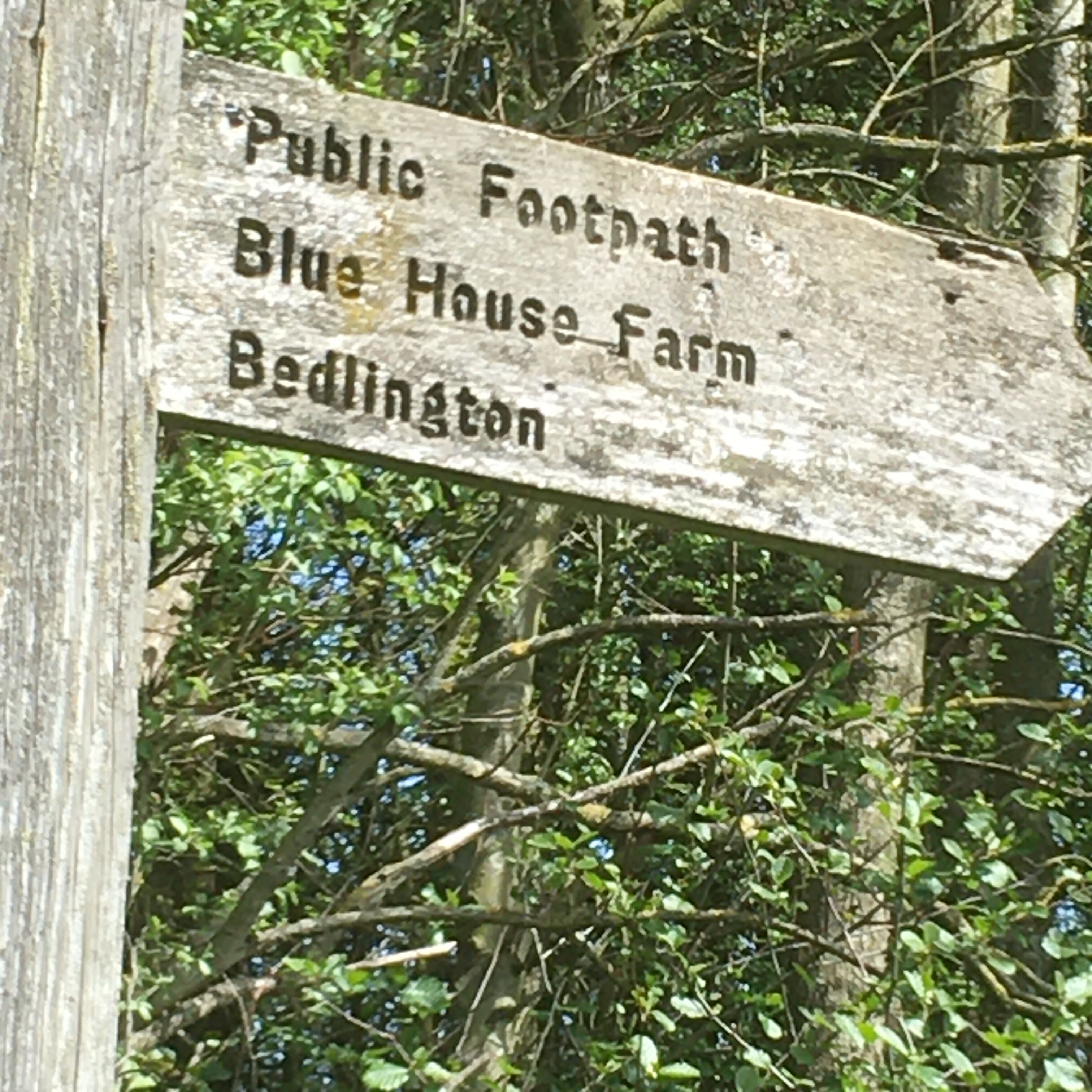
Oops, it’s just occurred to me, this is not really a Bedlingtoncouk, remit. Please forgive the intrusion. But, as I live in Bedlington I will post pics of Blubbery S if approved. X
-
Shame, that was a great pub/restaurant ouat x Josephine is keen so Me’nMax and JnPoppy will investigate, take a picnic and the OS map so we can return to tell the tale of Blubbery Scrogs 😁x Just back from girley lunch 🎼64 today!🎶🥂🍷+++🤗xx
-
Anyone been to Blubbery Scrogs recently? I’m planning a trip and looking for advice/recommendations, if possible, please? Rx
-
That’s a bu**er!! X
-
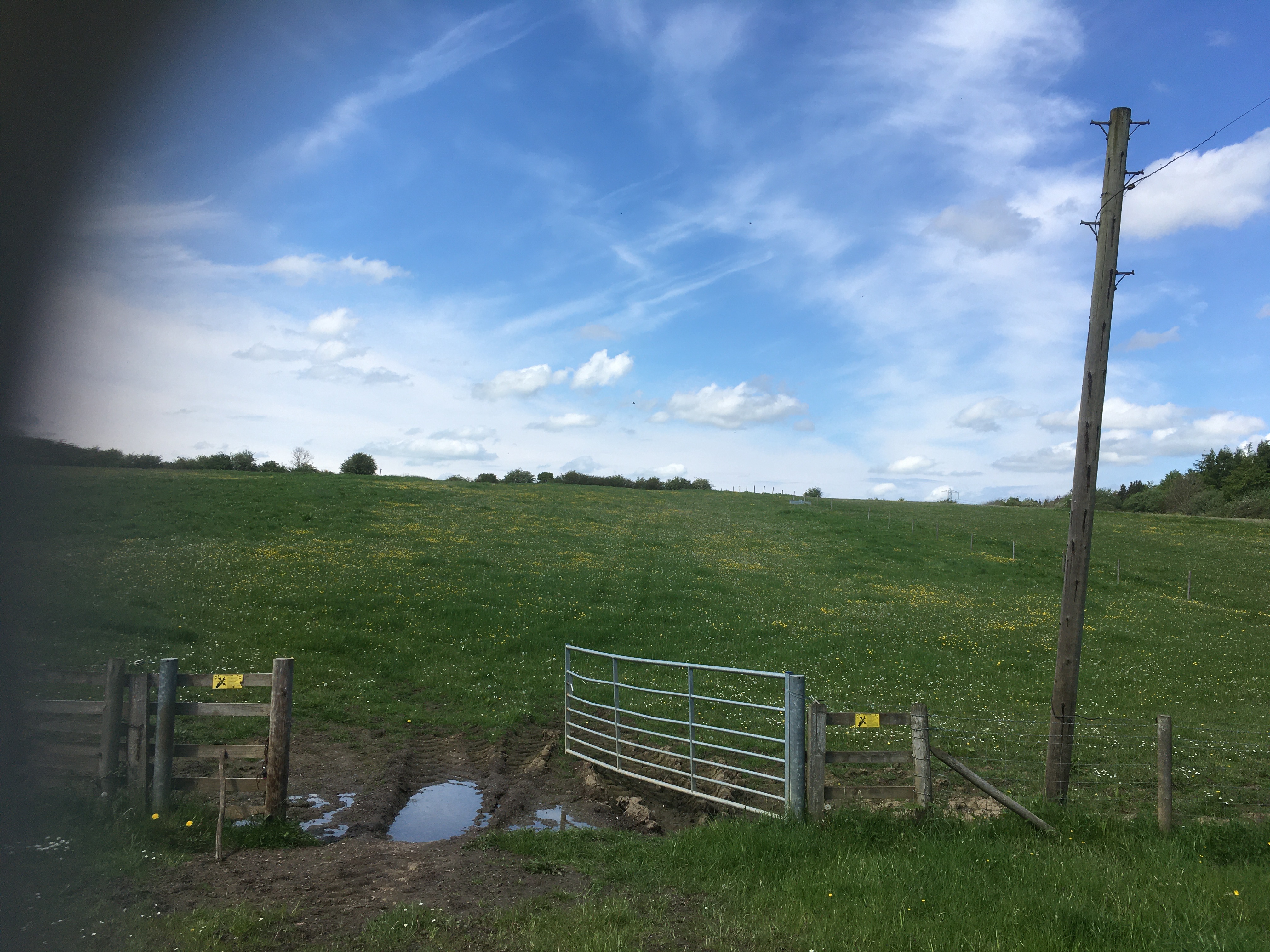
Now then Alan, I was dead chuffed with your emoji with the twinkling eyes, never seen one with movements before! How did you do that?🤔x Thank you very much for your info re building at Station Row, however the site I have been enquiring about is way over towards the little bridge over Netherton Letch. I don’t know how you and Canny lass make marks on your maps yet, but the area is to the right of the go from Willow water down to Netherton Letch with the landfill (concrete things) field to the left. I have splashed out and bought the OS map plus the online OS app so I can see better where I’ve been but haven’t had time yet to work out how to share this info. I’ll get there eventually I hope xx
-
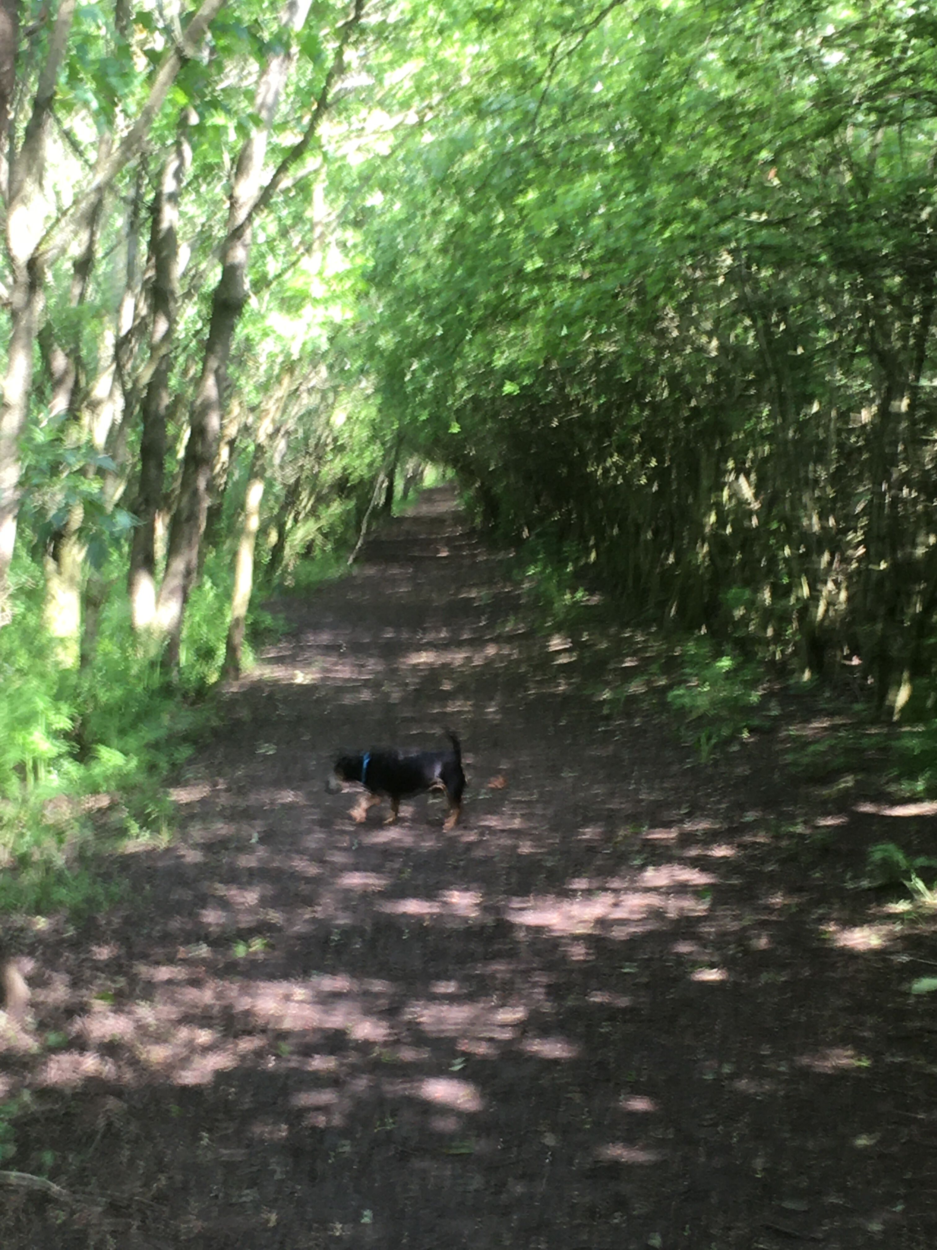
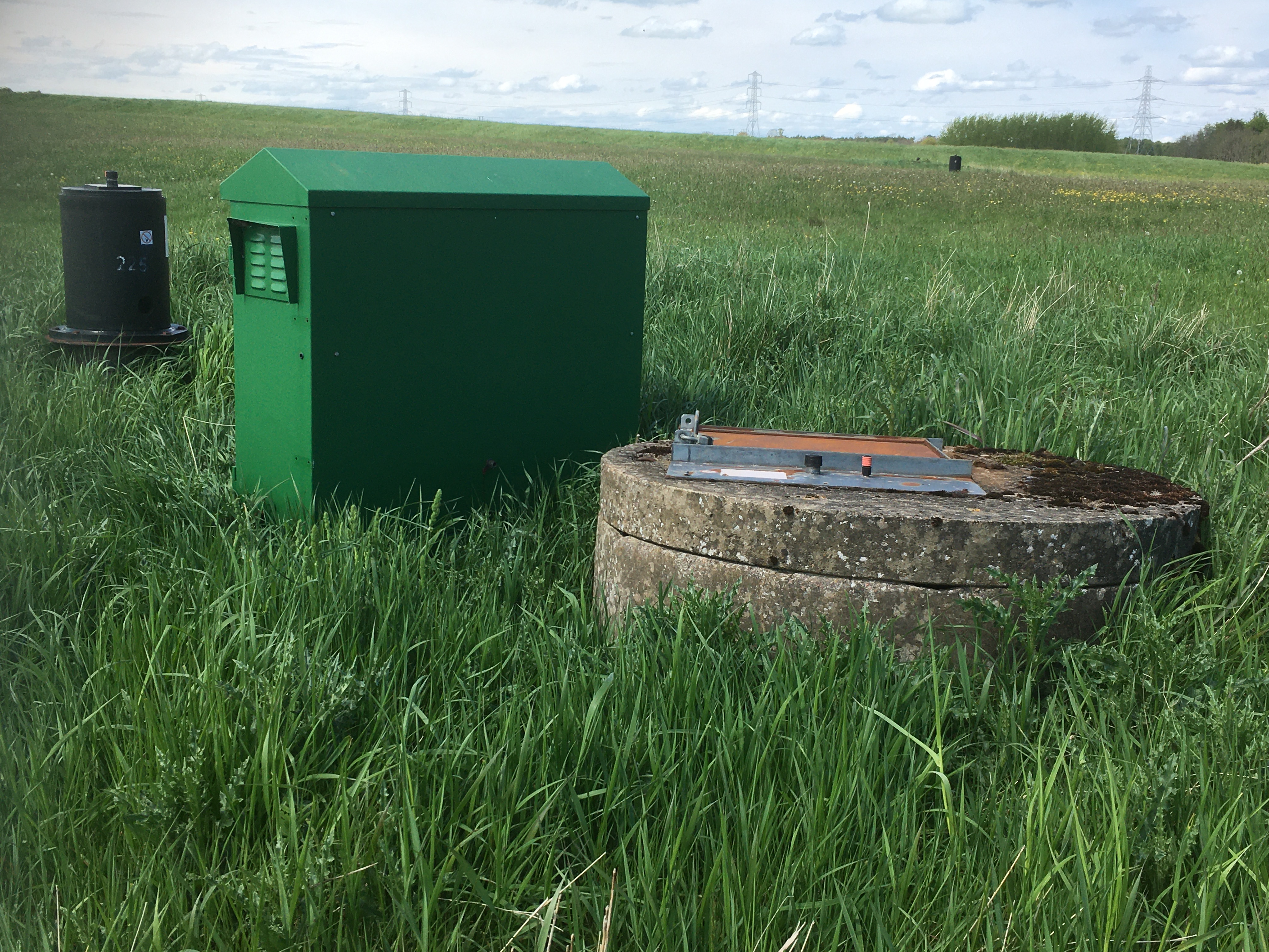
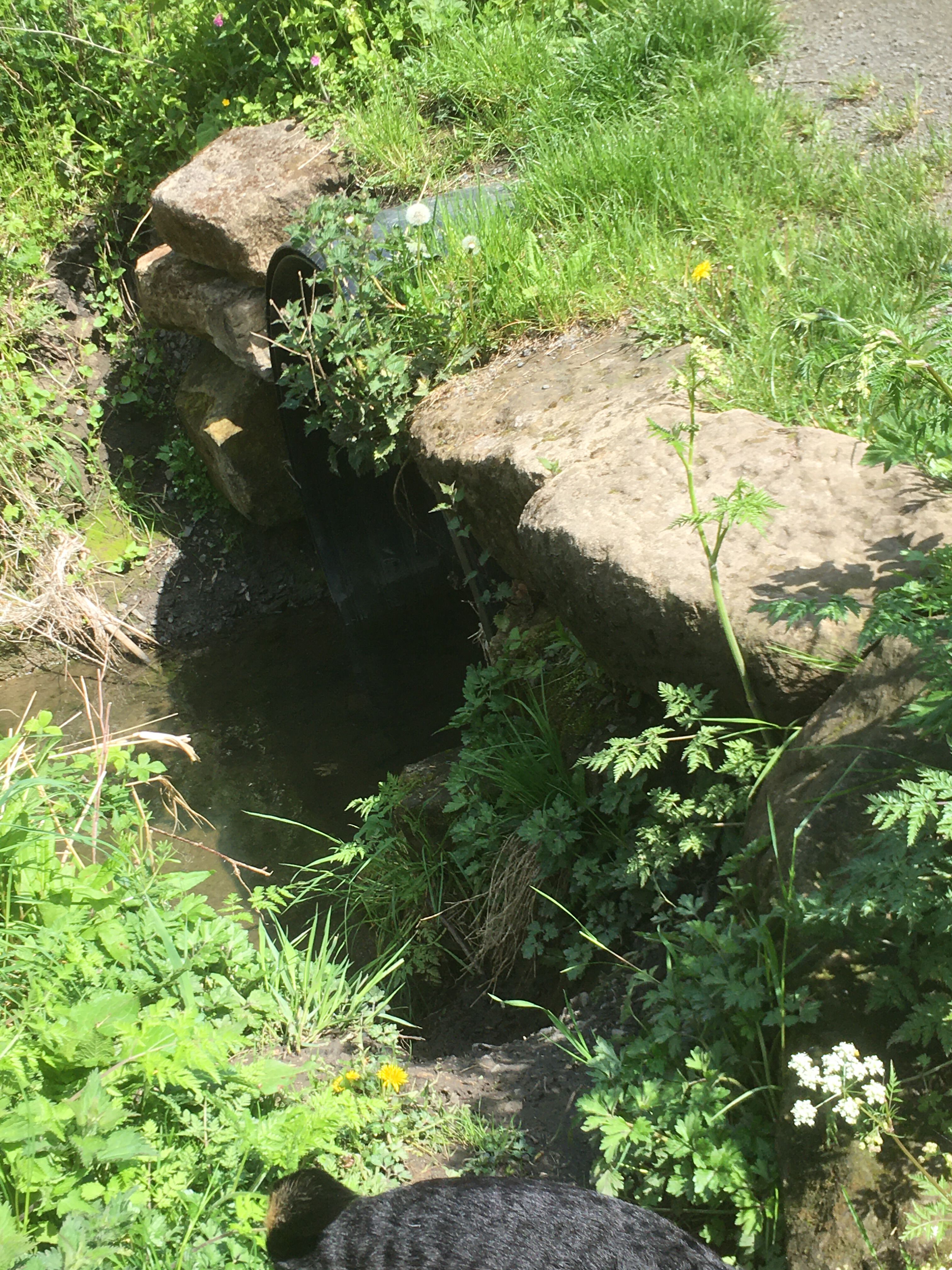
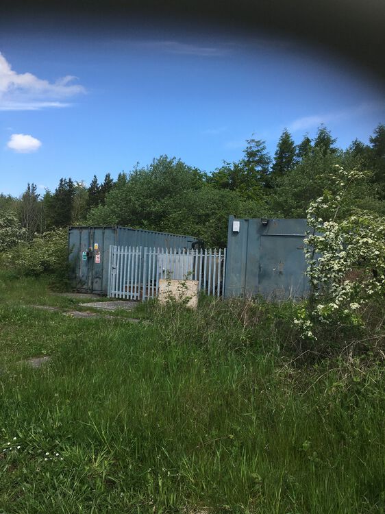
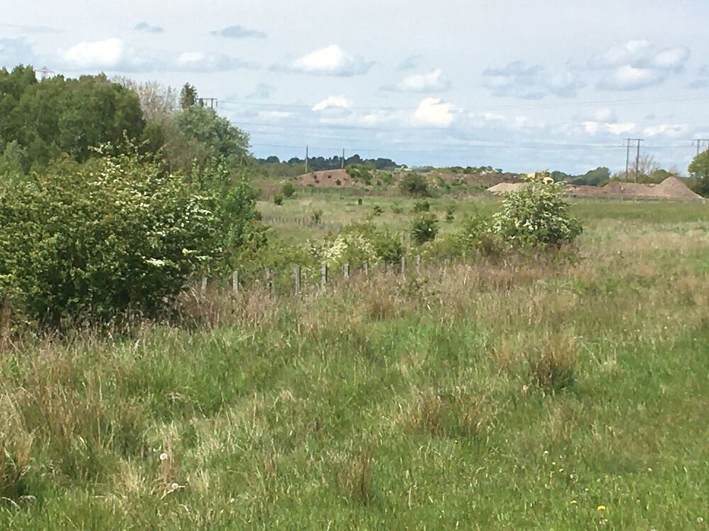
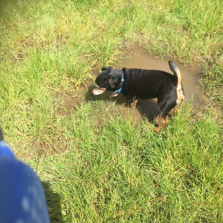
@Alan Edgar (Eggy1948)so irritating there’s no “WOW “ emoji on this groupspeak. You’ve done it again, Alan, two steps ahead, as usual. Just confirming Mr Dickson was absolutely on the nail with his description of the clay pit/landfill area and the vents (concrete things)! The very steep slope I had been reluctant to negotiate previously actually took Me’nMax back down to the Green Letch (area signposted as new woodland) and path not currently recorded on OS map. Culminates at conduit under railway line then turns West then South back to concrete things field. . From @Canny lassmap I think her footbridge from Francis Pit to Nland Ave is now the wooden bridge which has a steep slope up the west side and now joins the waggonway above and alongside the Green Letch, running northeast over the Letch which meets the Netherton Letch in the gully below the concrete things/landfill field. My curiosity is absolutely satisfied, I’m sure anyone else is bemused if at all interested. Today’s highlights, greater spotted woodpecker has started visiting my garden, Max has celebrated his 3rd year as rescue dog with me- trip to Brown’s farm with J and Poppy, lunch and looong walk- spied spuggies and goldfinches in dunes. Now very very tired, night all x💤🐾💤🌈x
-
Choppington lonnen joins Glebe road, reafforested pit heap in the background.
-
Probably A pit,
-
Hello Mr Dickson, sir, I am now absolutely sure you’re correct, of course, about this field. Thank you very much for the information, I have learned about another layer of history . Older and wiser, indeed. Thanks again xx
-
-
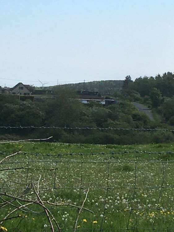
Yup, looking east, back of Sunnyside and adjacent buildings Choppington road,
-
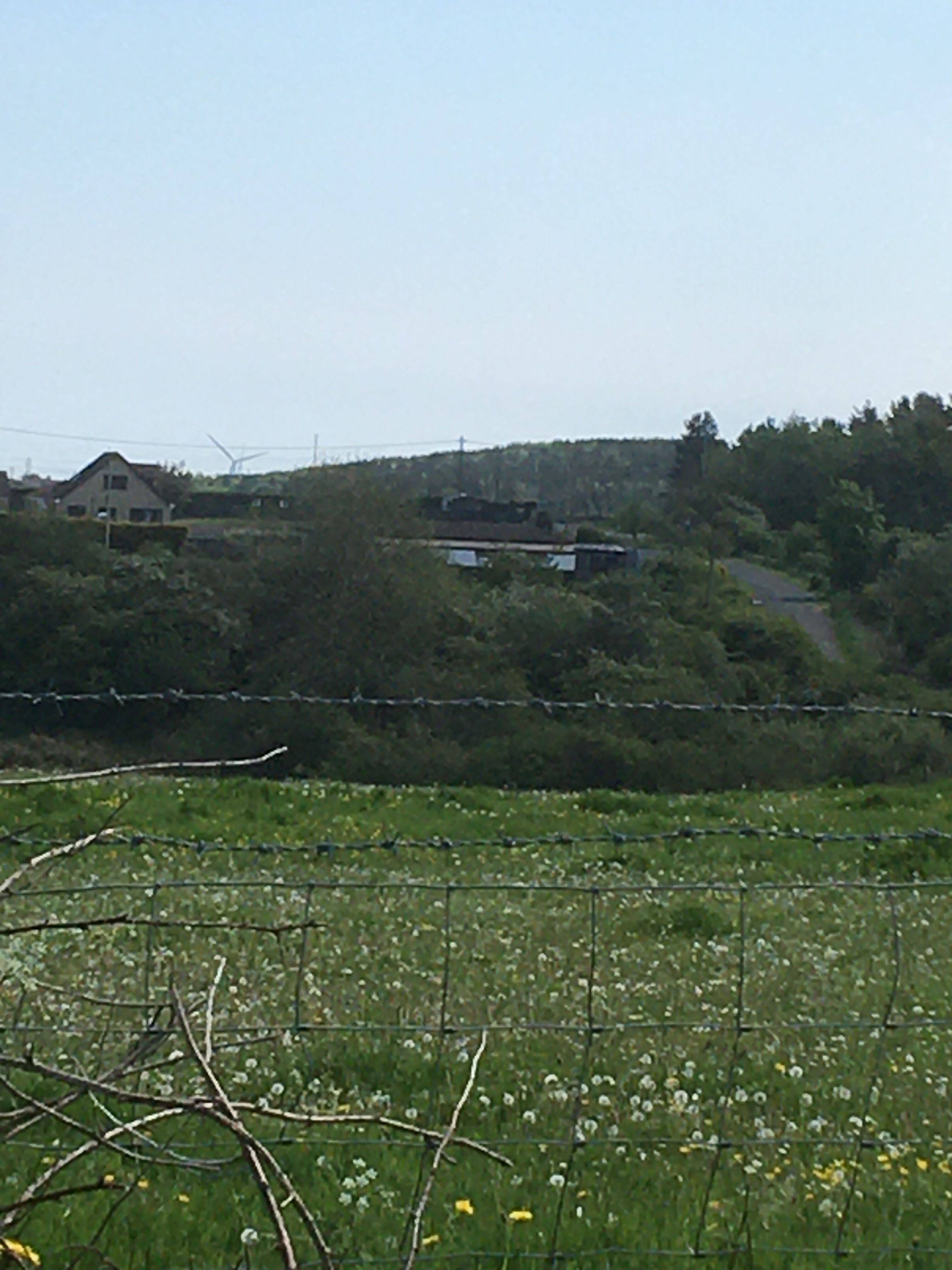
Last pic? Ewart Hill viewed from blue house farm Lane end/Nedderton road junction.


-
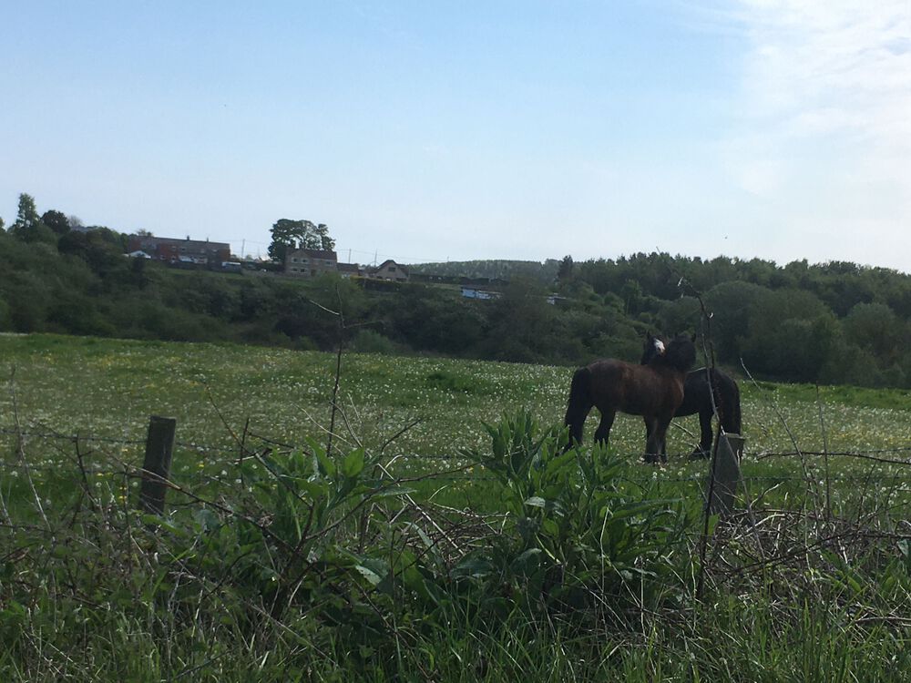
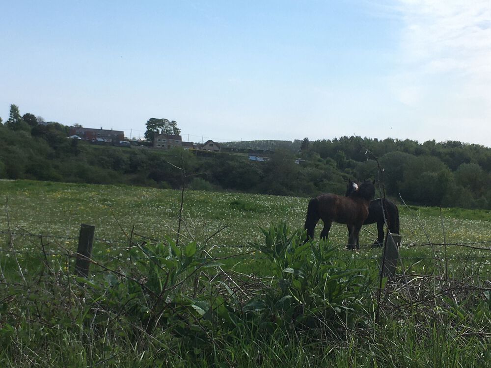
Evening @Canny lass the last photo is horses in the foreground and Sunnyside in the background, looking at Choppington road, Glebe farm off to the right (north). The‘concrete things’ field is definitely the landfill on top of the clay pit that Akan Dickson described. Yes, Max =dog, 3rd anniversary of rescue today, spent the day at Brown’s farm with Josephine and Poppy. My birthday treat has been to download OS maps online, now can record and check where I’ve been, then compare to old maps. Also bought paper map so I can plot what was against what is. Got lots more pics along the way, will post them for you xx
-
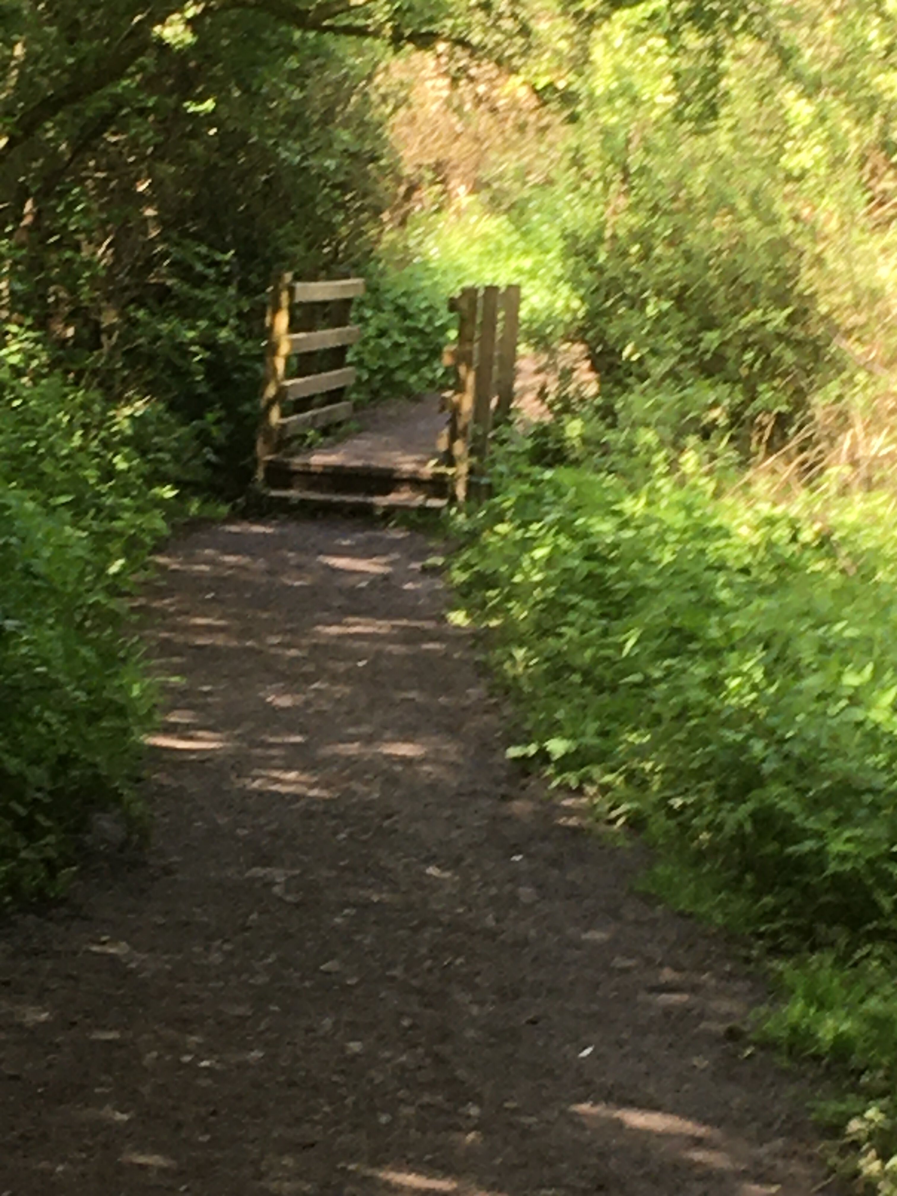
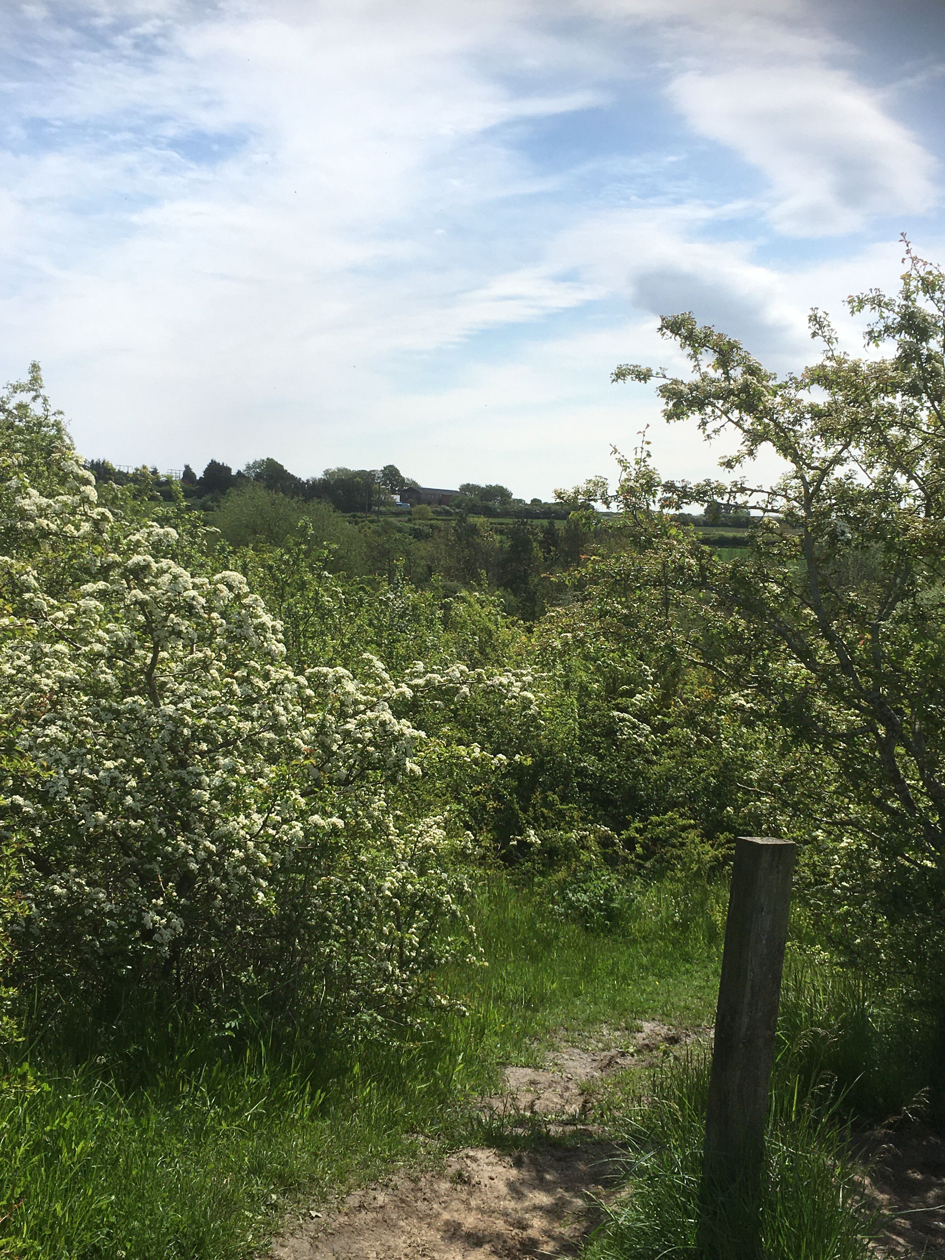
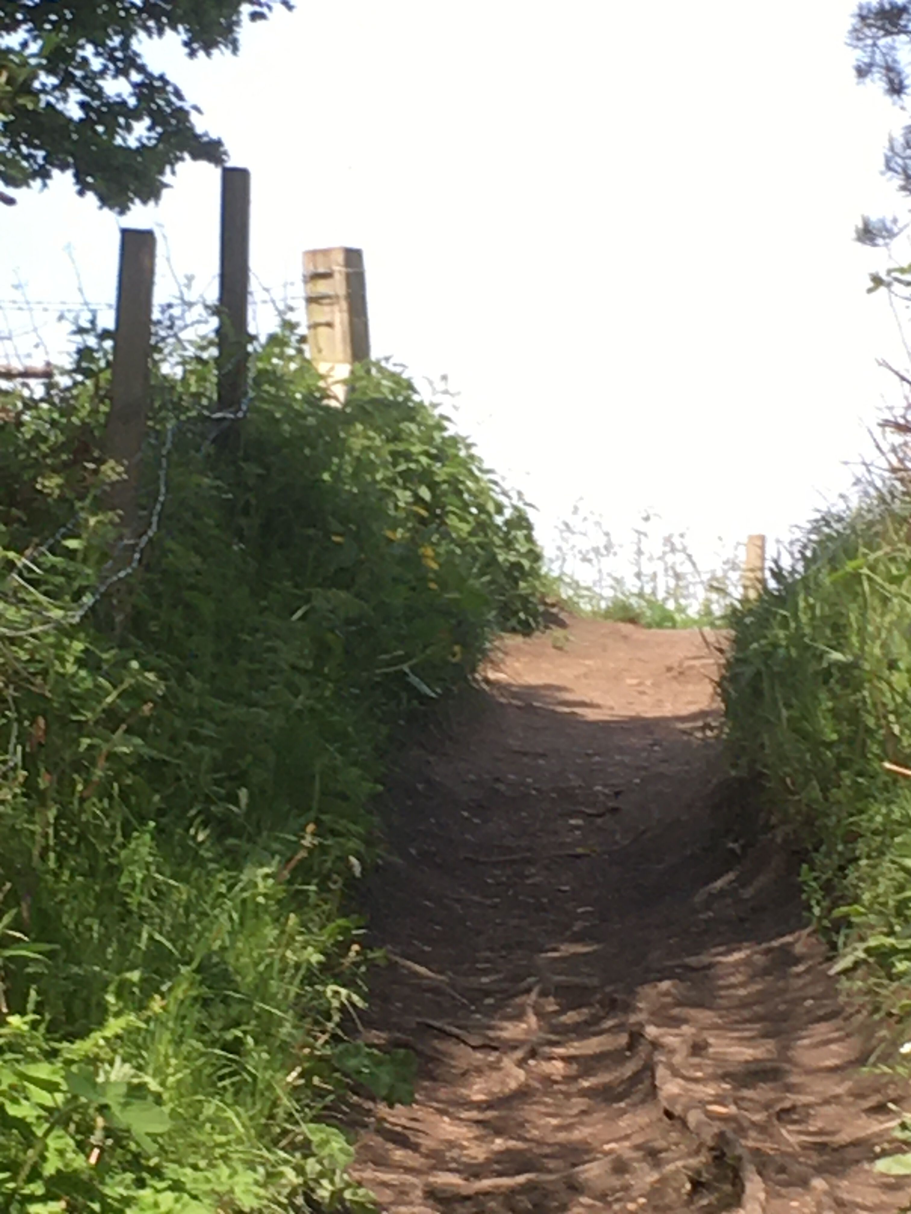
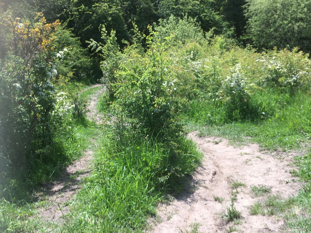
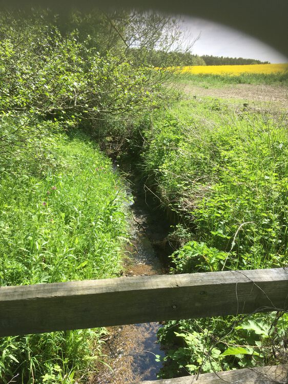
Evening @Canny lass, back from my travels, glorious day! I took pics along the way, most of which need editing so I’ll just share a couple now and the others when they’re tidied up. Didn’t find any remnants of Francis or Howard pits, there’s a lot of trees and quite dense undergrowth along the GLetch, or cultivated fields in the areas suggested by the map making it impossible for me to see anything notable. I took pics of the 2 bridges I crossed, both in deep gullies, the wooden one certainly en route for the Nland Ave path you marked on the map. Anyway, my bath is calling, speak soon Rx


-
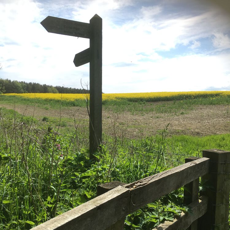
Lovely! Thank you for this, I’ll take a careful look tomorrow if it doesn’t rain. I’m a bit dubious how much I’ll find as I suspect a lot of the history is under the new houses. I’ll track the Letch, make note of where the houses stop and what remains of the wagon way (?Lonnen). Now you’ve described the approach to the “scary bridge “, I think I know where you mean- from the SE corner of the concrete things field there is a very steep and muddy when wet, slippery slope down to water I’ve heard below. I’ve tried a couple of times and chickened out plus once tried to get down when Josephine was with me but we both agreed it probably wasn’t worth the risk. However I’ll be approaching from the opposite direction tomorrow so it might look different from a different angle? I’ll definitely keep my eyes open for old shafts etc and if it looks dodgy I’ll just go home instead. Looks like your path to Westmorland|Northumberland Aves is still there snaking through the new houses-that’s another day out for Me’nMax xx
-
Just an afterthought- you mentioned a “scary bridge “? Whereabouts is/was it, please? Regards Roseanne x
-
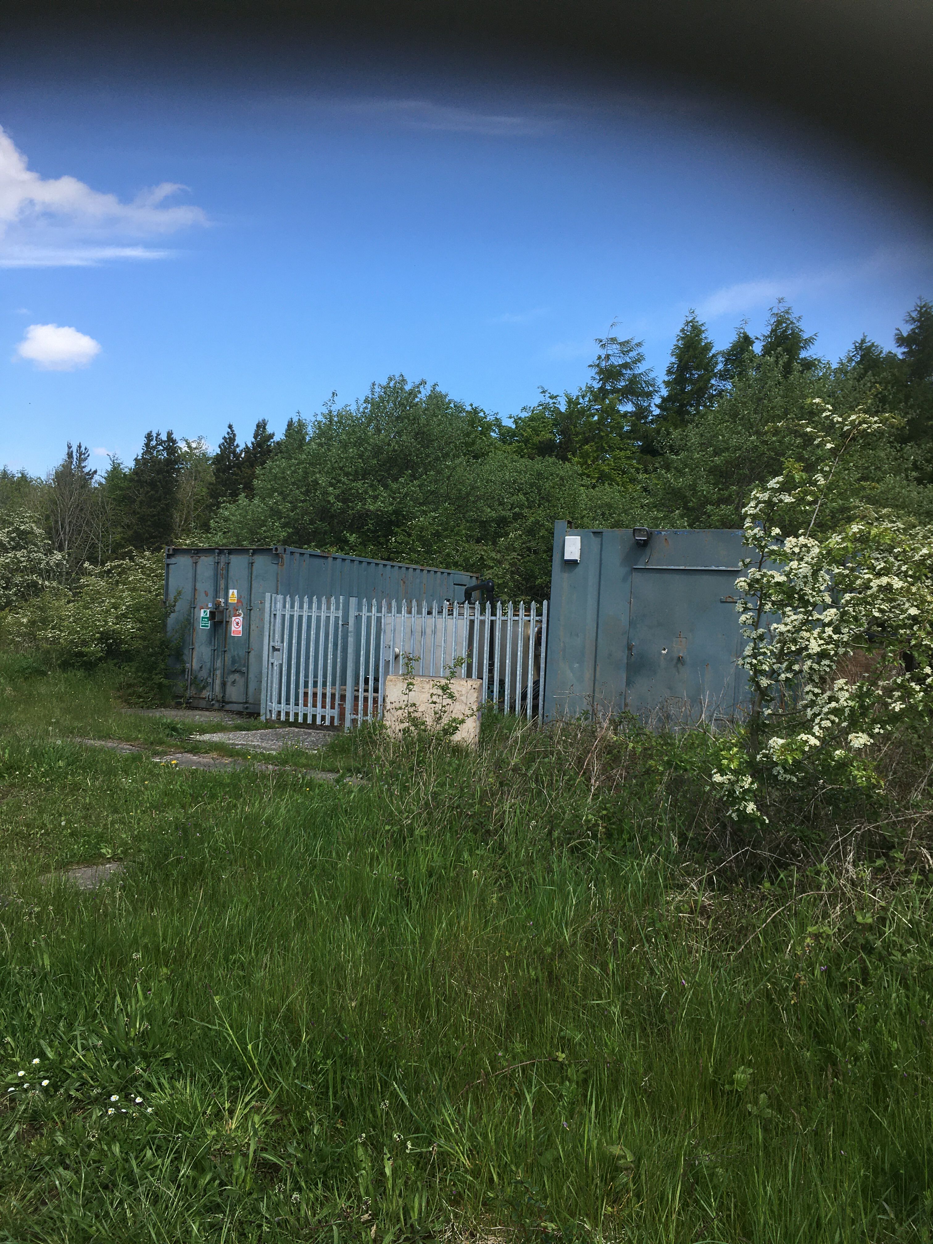
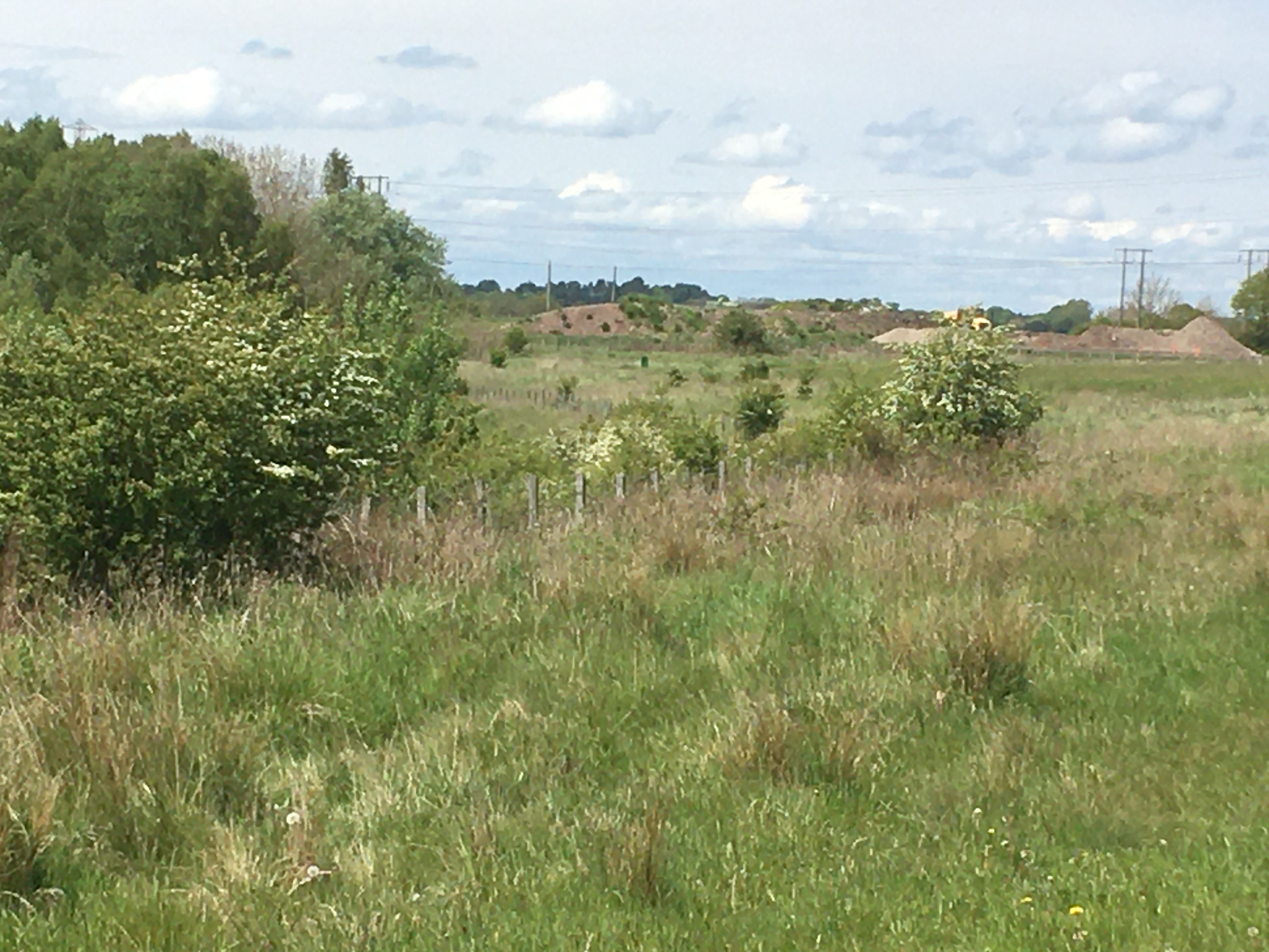
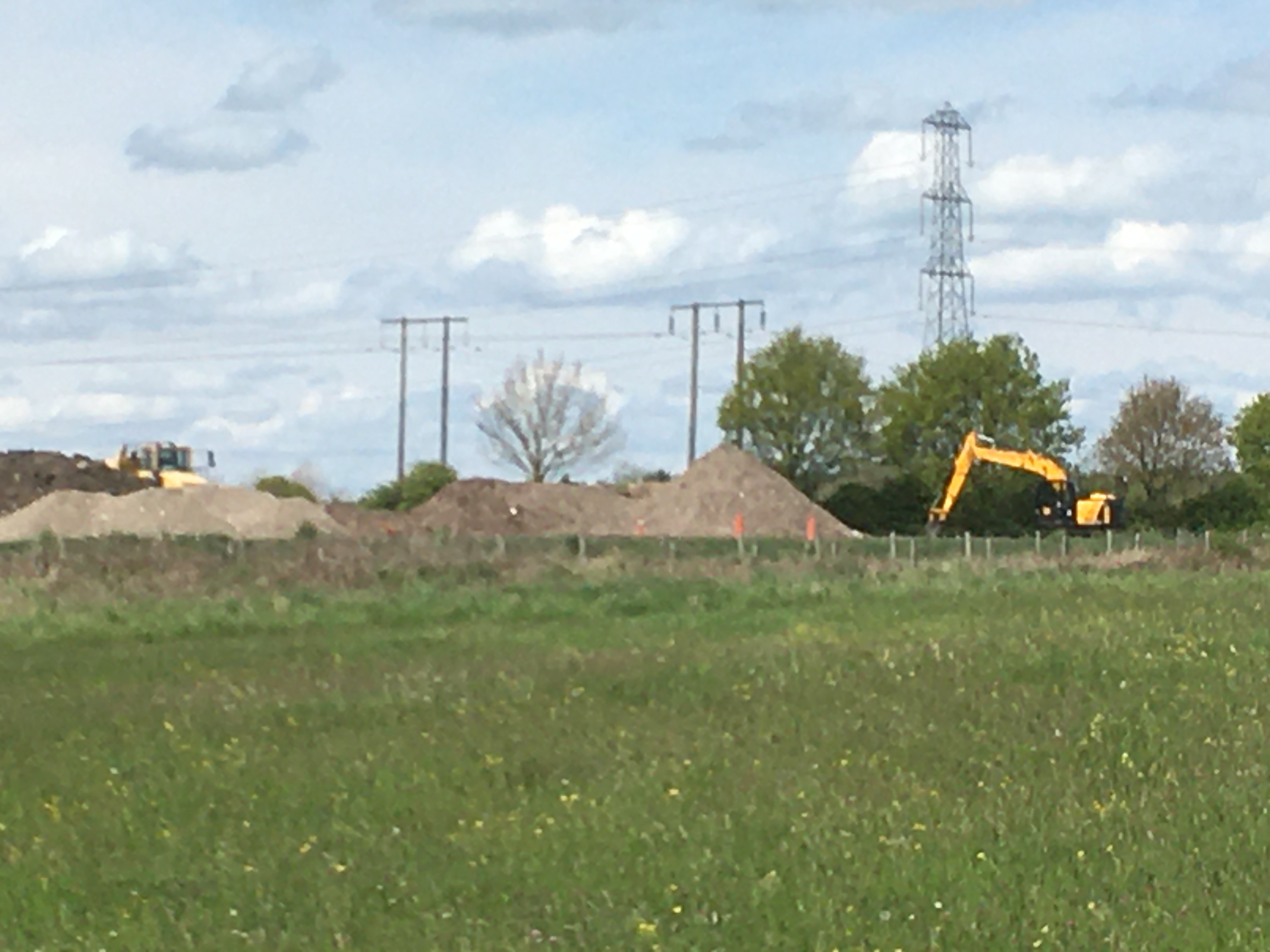
Hello there @Canny lass, I know exactly what you mean about the small script on the phone, struggling to see yesterday’s map gave me a headache. I’ve just read your reply but I don’t have a PC, I vowed after retirement never to go near one again 😂x. I had a fresh look this morning and I’m sure you’ve got the right position for my Willow Bridge approach. Have been able to expand enough to see that it’s just numbers beside what are probably field edges. There’s no sign or suggestion of any buildings in the area where I’ve seen the earth/brick piles but there’s nothing to say the old brickyard wasn’t spread wide over the area when it was demolished? Also currently no reason to think maybe it is being prepared for some construction? I’ll just wait to see. If this weather holds Me’nMax are going to follow the GLETCH from North Ridge to it’s junction with the Netherton Letch and back around to Blue House, seeing it with different eyes and looking for markers of previous communities, esp Francis Pit. Photos to follow 🤞🏼X
-
Morning x lilbill to BigBill @HIGH PIT WILMA, burning the midnight oil there? Been thinking about your book; wondering whether there are any grandchildren or suchlike? The young’uns are the ones who are familiar with technology and, judging by the speed when I see them texting all over the place I’m thinking maybe you could ask if there’s anyone who can do your transcripts for you? Or possibly a local school? It’d make a great project and pass on your knowledge and experience at the same time. Probably a daft idea but maybe worth giving it a thought? Best regards BigBill, from lilbill xx
-
I was born 57, you? x I’m going to have to rest my eyes a while, that last map looked spot on but I’m struggling to read the small print so I’ll take a breather, BEST regards, Roseanne x
-
Someday soon, when the weather is right, Me’nMax are going to follow that little line from close to Ewart Hill to the Sleekburn junction, taking a picnic and iPhone to record the events and send you some pics xx
-
Yes, lovely, fits perfectly x. I’m (irritatingly) wondering what it’s source is? Where does the water come from? That’s bye the way. On your previous map between the E &D of the upper Bedlington inscribed on the map there’s something marked on the vertical line between Netherton Letch and the railway line. I can’t make out what it says....
-
Good evening @Canny lass, so, Netherton colliery esp. Francis Pit, is much nearer to West Bedlington than I realised. Also GLetch does veer Westish before heading to Choppington area. Looking at your latest map I can narrow down the area of “concrete things “, to somewhere the green and Netherton Letches meet to the east of the area in question. Do you have the legend for this map? I’m not sure what the various lines/dotted lines stand for-?footpaths/field boundaries etc. I’ll try to indicate on the map you sent me what I am looking at, thank you thank you xx
-
Wizard!! 😳xx